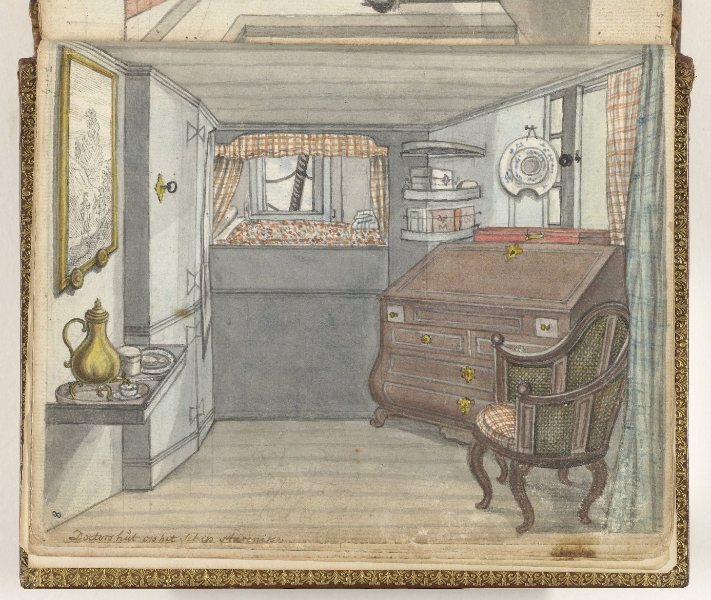
Read more about the article Old Maps, New Discoveries: A Datasprint’s Digital Exploration
Example annotations in Recogito on land map ‘Kaart van het Eiland Ceylon, een klein gedeelte van de Kust van Malabar, Madure en Cormandel’ (4.VEL, 924).

Old Maps, New Discoveries: A Datasprint’s Digital Exploration

Earlier this year, GLOBALISE together with the University of Amsterdam’s CREATE Lab organised a collaborative datasprint on historical places in the area around the Indian Ocean and Indonesian archipelago. This…

Continue ReadingOld Maps, New Discoveries: A Datasprint’s Digital Exploration

GLOBALISE Datasprint: What on Earth is This? Defining, Labeling and Classifying Early Modern Commodities

Date: Monday 4 December
Time: 13:00 – 16:15
Location: Room F0.01 at the Humanities Labs, University of Amsterdam (Bushuis, Kloveniersburgwal 48 Amsterdam).
Tools: Bring your own laptop!
Are you a historian or a student of history at university with a keen interest in trade, material culture, commodity histories or just good old historical research? If yes, we at the GLOBALISE Project, in collaboration with the CREATE Lab (UvA), invite you to participate in a workshop to contribute to and enrich our thesaurus of commodities traded in the early modern Indian Ocean world.

Continue ReadingGLOBALISE Datasprint: What on Earth is This? Defining, Labeling and Classifying Early Modern Commodities

Textile Taxonomies – GLOBALISE’s efforts in defining traded textiles in the Indian Ocean Region

Do you know what a roll of ‘periemoenemolam’ is? Or what ‘gorgorongs’ are for that matter? Chance is, that you will at some point encounter cryptic terms like these as types of traded goods in the archives of the Dutch East India Company (VOC). This blog post tells about the efforts of the GLOBALISE project to create a thesaurus of textiles that helps researchers find their way in the VOC archives

Continue ReadingTextile Taxonomies – GLOBALISE’s efforts in defining traded textiles in the Indian Ocean Region